ScenePhoto360, LLC

Categories
Photography
Hours:
Call for appointment
Driving Directions:
N/A
About Us
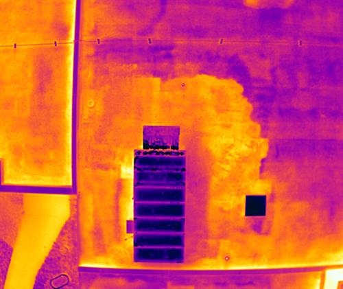
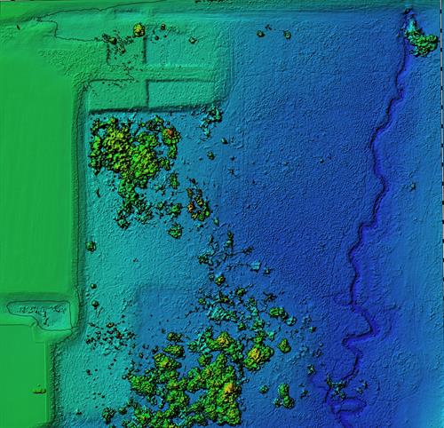
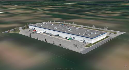
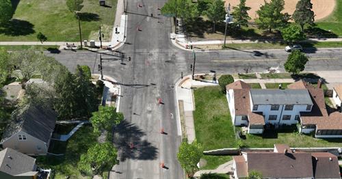
ScenePhoto360, LLC is a Minnesota-based aerial imaging company delivering advanced drone solutions for professionals who need clarity, accuracy, and actionable data. We specialize in high-resolution aerial photography, 3D modeling, digital twin development, orthomosaic mapping, and thermal inspection and analysis—all performed using cutting-edge drones equipped with professional-grade sensors and RTK precision.
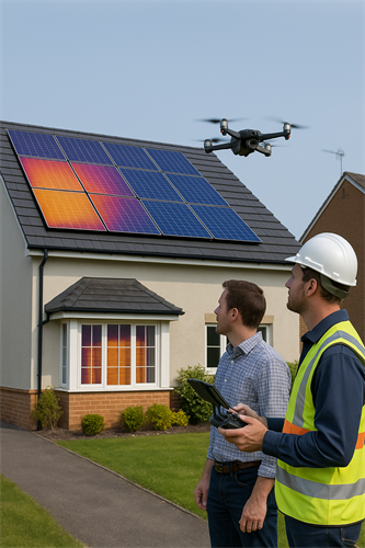
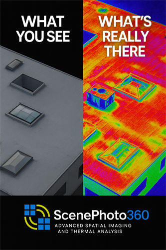
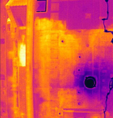
Our services are designed for industries where visual data is critical. We support commercial property managers, building engineers, facilities directors, and construction professionals by providing detailed roof scans, envelope inspections, and 3D site models for planning, documentation, and predictive maintenance. Our thermal imaging helps identify moisture intrusion, insulation failures, and electrical anomalies—often before they become visible or costly.
We also serve law firms, attorneys, and insurance professionals with forensic-grade scene documentation. From crash and crime scenes to post-incident liability mapping, we create high-resolution aerial evidence and 3D reconstructions to support litigation, trial graphics, and expert testimony.
ScenePhoto360 stands apart by blending years of real-world crash investigation and emergency response experience with state-of-the-art aerial technology. Our work is fast, efficient, and tailored to your industry needs—whether it’s analyzing roof conditions, visualizing accident dynamics, or capturing site conditions that can change overnight.
Video Media
Images
Rep/Contact Info
